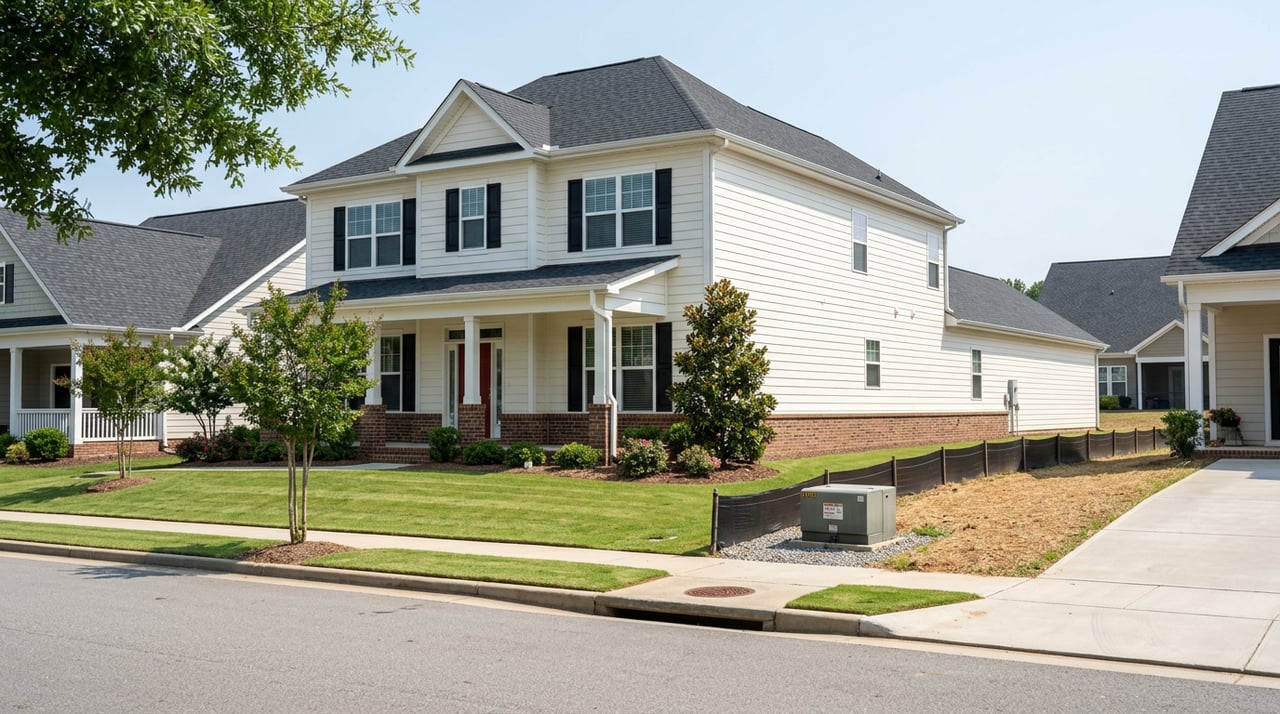
Running numbers on a small subdivision or commercial pad in Grantville? The fastest way to miss your pro forma is to skip the early zoning and utility checks that drive density, timelines, and off-site costs. This guide gives you a practical roadmap to confirm jurisdiction, translate zoning into lot yield, and map the steps from concept to approvals in and around ZIP 30220. You will find direct links to the official city and county sources so you can underwrite with confidence. Let’s dive in.
Start with jurisdiction and maps
Before feasibility, confirm who regulates the parcel. Inside city limits, you follow the City of Grantville’s zoning and development standards. Outside city limits, Coweta County’s Community Development and Zoning Division applies. Use the city’s planning and forms pages and the county’s documents and maps as your primary sources.
- Use the city’s forms and development resources to find the city zoning map, development standards, and rezoning application. Visit the City of Grantville planning and forms page at the city website: Grantville forms and planning.
- For unincorporated parcels, consult Coweta County’s official zoning maps and the Zoning and Development Ordinance. Start here: Coweta County Community Development documents and maps.
- Run a quick map test to confirm: city vs county jurisdiction, current zoning, future land use, and overlays. The regional viewer helps you cross-check boundaries: ArcGIS parcel and zoning viewer.
Zoning at a glance: county vs city
Coweta County districts to know
Coweta’s Zoning and Development Appendix contains the official dimensional table with minimum lot sizes, setbacks, heights, and impervious limits by district. Use this as your first-pass density check: Coweta County Article 23 dimensional table.
- RC Rural Conservation typically requires a minimum building lot near 5 acres with large setbacks and a 40-foot height limit.
- RI-A Infill is a low-density district with minimums near 0.5 acre in designated infill areas.
- RD Two-Family can allow small-lot minimums in the 8,500 to 10,000 square foot range with public water and sewer, subject to footnotes in the table.
- Commercial and industrial districts set minimum district sizes and regulate coverage and setbacks that affect parking and stormwater. Verify the exact district, minimum acreage, and dimensional standards in Article 23.
Note the county’s footnotes: minimums often change if you have public water, public sewer, both, or neither. If sewer is not available, lots must prove conventional septic suitability, which can increase effective lot size.
City of Grantville districts to know
The City maintains its own development standards and districts, including single-family and commercial/industrial categories. City documents and the city zoning map are the controlling sources for parcels inside municipal limits: Grantville forms and planning.
- Recent city materials reference RS-15 Suburban Residential with a 15,000 square foot minimum lot and example setbacks such as front 25 feet, side 10 feet, and rear 35 feet. See the city’s planning agenda materials for RS-15 context: Grantville Planning and Zoning Commission agenda.
- General Commercial, Light Industrial, and General Industrial districts carry city-specific use permissions and dimensional rules. Confirm permitted uses and dimensional standards in the city’s development standards document.
How utilities change density
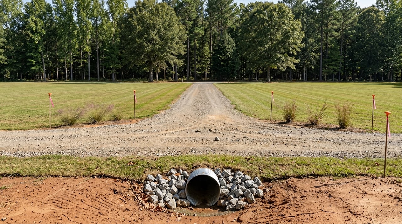
Utility service drives lot yield. In Coweta’s dimensional table, minimum lot sizes and other standards often shift based on whether the site has public water and sewer. If sewer is not available, the county will require proof that each lot can support a conventional septic system before approval. Start with a written capacity or availability letter for water and sewer and confirm any required extensions.
Overlays, environment, and access
Expect additional buffers and setbacks where overlays apply. Stream corridors, wetlands, groundwater recharge, and floodplains can limit grading, fill, or septic siting. Where state waters buffers are involved, Georgia EPD manages the buffer variance process for qualifying projects.
If your access connects to a state route, you will need a GDOT driveway or encroachment permit. GDOT rules govern spacing, sight distance, and when auxiliary lanes or a traffic impact study are required. These conditions can change both timeline and cost, so contact GDOT District Access Management early for state-route sites.
Entitlement steps and timing
The city and county processes are similar at a high level. A typical sequence looks like this:
- Confirm jurisdiction and zoning with the city or county map resources and run the ArcGIS viewer to verify boundaries and overlays.
- Request a pre-submittal meeting with planning staff. Coweta uses an online portal for formal applications, and early meetings help you set a clean path.
- File the correct application package: rezoning, conditional use permit, variance, and any preliminary plat, using the city rezoning form or the county portal. You can find city application forms on the city site: Grantville forms and planning.
- Undergo staff and interdepartmental review, including planning, engineering, environmental health, utilities, fire, and roads. For larger proposals, a Development of Regional Impact review can pause local rezoning for many months.
- Attend Planning Commission for a recommendation, then City Council or County Board for a final vote. Notices include legal ads, on-site signs, and mailed letters to nearby owners per local practice.
- After approval, submit engineering plans, address stormwater and erosion control, complete preliminary and final plat approvals, build required improvements, then pull building permits and inspections. County subdivision procedures are governed by Chapter 66: Coweta County Chapter 66 subdivision procedures.
For calendar planning, straightforward rezones or conditional uses with minimal off-site impacts often run 2 to 4 months from application to final decision if complete at submittal and no DRI is required. Proposals involving GDOT access work, DRI, wetlands, or major utility extensions can add several months to a year or more. Coweta’s public guidance on a recent large project highlights how DRI steps extend timelines: County guidance on DRI timing.
Quick underwriting checklist for 30220
Use this 7 to 30 day action list to protect your numbers:
- Confirm city vs county jurisdiction and current zoning with the official maps and the regional ArcGIS viewer.
- Pull the applicable dimensional table. For county parcels, verify minimum lot size, setbacks, maximum heights, and impervious caps in Article 23. For city parcels, use the city development standards.
- Request a written water and sewer capacity or availability letter and fee schedule from CCWSA or the city utility contact.
- If sewer is not available, order soils and percolation tests to verify conventional septic feasibility. Adjust lot yield if soils are limiting.
- Flag wetlands, streams, and potential buffers. If present, plan for delineation and discuss state buffer variance paths with your design team.
- Identify road access type. If the frontage is on a state route, contact GDOT to understand driveway spacing, sight distance, and turn-lane thresholds.
- Schedule a pre-submittal meeting with the city or county planner to review submittal requirements, likely conditions, and timelines.
When to bring in specialists
Pull utility capacity letters and preliminary off-site cost estimates early. Water and sewer extensions, GDOT turn lanes, wetlands mitigation, or advanced septic designs can materially change land value and deal structure. For small subdivisions or commercial pads, engage a civil engineer for site layout and costs, a traffic engineer for state-route access or higher trip volumes, and a wetlands consultant if streams or depressions are on-site. If you expect variances or complex negotiations, add a land-use attorney. A local broker with entitlement fluency can help align zoning, density, and marketable lot counts before you write the offer.
Ready to pressure-test a Grantville site or package land for disposition? Connect with Pristine Realty Group, LLC for a focused, developer-grade review of zoning, utilities, timelines, and exit strategy in Coweta County.
FAQs
Where do I find the official zoning for a Grantville parcel?
- First confirm city vs county jurisdiction. Inside city limits, use the City of Grantville’s planning and forms page for the city zoning map and standards. Outside city limits, use Coweta County’s documents and maps and the county ordinance.
How do utilities affect how many lots I can create?
- Minimum lot sizes and some standards change based on public water and sewer availability. If sewer is not available, each lot must prove conventional septic feasibility, which often increases lot size and reduces yield.
What if my site includes a stream or wetland in 30220?
- Expect additional buffers, setbacks, and design constraints. State waters buffers may require a variance process and federal or state agencies may become involved if wetlands or jurisdictional waters are present.
Who permits driveways on Highway 29 or other state routes?
- The Georgia Department of Transportation controls access to state routes. You will need a GDOT driveway or encroachment permit and may be required to add turn lanes or conduct a traffic study based on projected trips.
How long do rezones usually take in Coweta and Grantville?
- Simple cases with no major off-site impacts commonly run 2 to 4 months from application to decision. Projects that trigger GDOT work, DRI review, or environmental permitting often require several additional months.
What documents should I secure before closing on land?
- Obtain written zoning verification, a water and sewer availability or capacity letter, soils and perc results if on septic, a wetlands or stream delineation if features are present, and a preliminary engineering cost estimate for improvements.